

Pacific Coast Highway Big Sur Monterey to San Luis Obispo Tour
Features
- Free cancellation available
- 11h
- Mobile voucher
- Instant confirmation
Overview
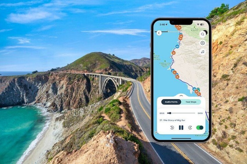
Drive the Pacific Coast Highway from Monterey to San Luis Obispo with a tour that plays from your phone as the coast unfolds. Choose when to start, where to stop, and how long to stay at each stop.
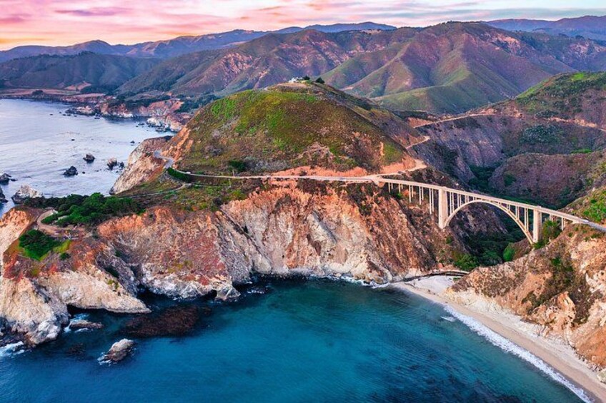
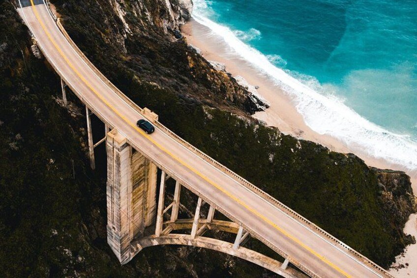
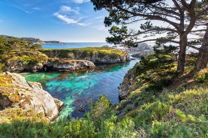
Experience the dramatic beauty of Big Sur, one of California’s most iconic coastal regions, as you follow Highway 1 past towering cliffs, quiet beaches, redwood forests, and sweeping ocean vistas. Watch waves crash below Bixby Bridge, look for wildlife at Point Lobos State Natural Reserve, and take in the rugged coastline at Garrapata State Park and Soberanes Point. Stop at Hurricane Point for panoramic views, explore the redwoods of Pfeiffer Big Sur State Park, and discover the purple sand and rock arches at Pfeiffer Beach before continuing south to San Luis Obispo
Get stories, local tips, and easy GPS directions as you drive. It also works without cell service once set up, so you can enjoy Big Sur even when the signal drops.
Download the Shaka Guide app to access the purchased tours
Activity location
- Point Lobos State Natural Reserve
- 93923, Carmel-by-the-Sea, California, United States
Meeting/Redemption Point
- Carmel-by-the-Sea
- 93921, Carmel-by-the-Sea, California, United States
Check availability
Pacific Coast Highway Big Sur Monterey to San Luis Obispo Tour in English
- 11h
- Opening hours: Thu 12:00 am-11:30 pm
- English
What's included, what's not
- Pause, rewind, or replay anytime
- Lifetime access after purchase
- Built-in turn-by-turn route guidance
- Self-paced experience with no fixed start time
- Storytelling based on first-hand travel and research
- GPS-triggered audio with automatic playback at each stop
- Offline access after download
- Private Transport
- Parking Fees
- Entrance Fees
- Meals & Refreshments
Know before you book
- Wheelchair accessible
- Infants and small children can ride in a pram or stroller
- Service animals allowed
- Transport options are wheelchair accessible
- Suitable for all physical fitness levels
- Travellers must have a smartphone compatible with the Shaka Guide app.
- The app must be downloaded and the tour redeemed before arrival.
- Strong Wi-Fi or cellular data is required to download the tour in advance.
- Location services (GPS) must be enabled on the device
- Travellers are responsible for securing any required entrance passes, reservations, or permits before starting
- The tour can be driven in either direction: northbound or southbound.
- Bathroom stops and restaurant recommendations are included along the route.
- Check road conditions before departing, as Highway 1 closures can occur due to landslides, storms, or wildfires.
Activity itinerary
Point Lobos State Natural Reserve
- 1m
- Admission ticket not included
Garrapata State Park (Pass by)
Rocky Creek Bridge
- 5m
Bixby Bridge
- 10m
Hurricane Point Vista Point
- 5m
Pfeiffer Big Sur State Park
- 1h
Nepenthe
- 30m
Henry Miller Memorial Library
- 15m
Partington Cove
- 30m
Julia Pfeiffer Burns State Park
- 5m
McWay Falls
- 5m
- Admission ticket not included
Big Creek Cove Vista Point
- 10m
Gamboa Point
- 5m
Limekiln State Park
- 30m
- Admission ticket not included
Sand Dollar Beach
- 30m
- Admission ticket not included
Willow Creek Picnic Area and Beach
- 30m
- Admission ticket not included
Salmon Creek Falls Trail
- 30m
Ragged Point
- 15m
Elephant Seal Vista Point
- 30m
Hearst Castle
- 2h
- Admission ticket not included
Moonstone Beach
- 30m
Cambria (Pass by)
Harmony
- 30m
Estero Bluffs State Park
- 15m
Cayucos State Beach
- 30m
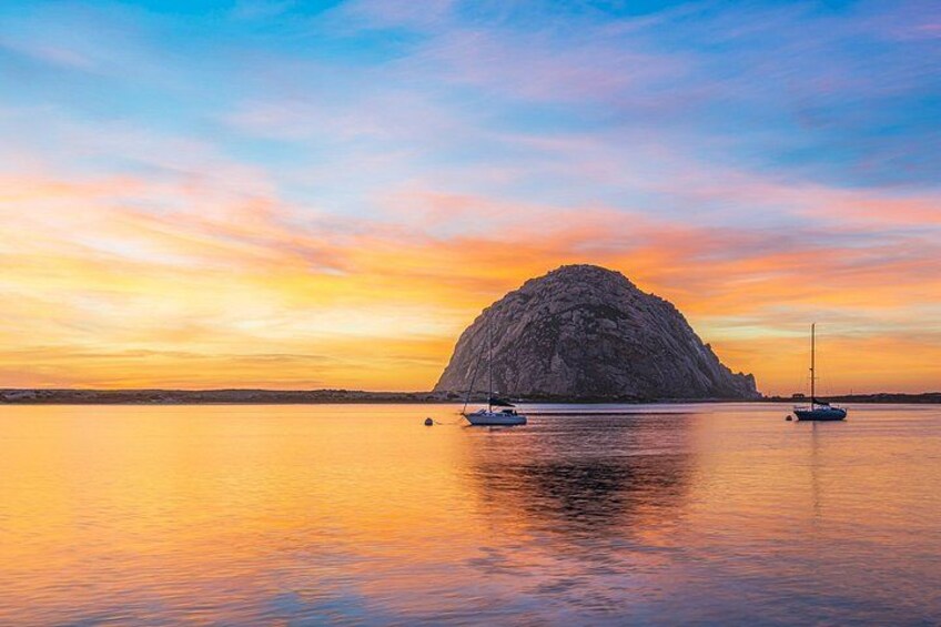
Morro Rock
- 30m
Tidelands Park
- 15m
Location
Activity location
- Point Lobos State Natural Reserve
- 93923, Carmel-by-the-Sea, California, United States
Meeting/Redemption Point
- Carmel-by-the-Sea
- 93921, Carmel-by-the-Sea, California, United States